

Heritage
Charoen Krung: The Road That Made Modern Bangkok
The superlative you will read everywhere is not supported by any source we could stand behind: that this was Bangkok’s first paved road. The sourced record says something more precise, and more interesting.
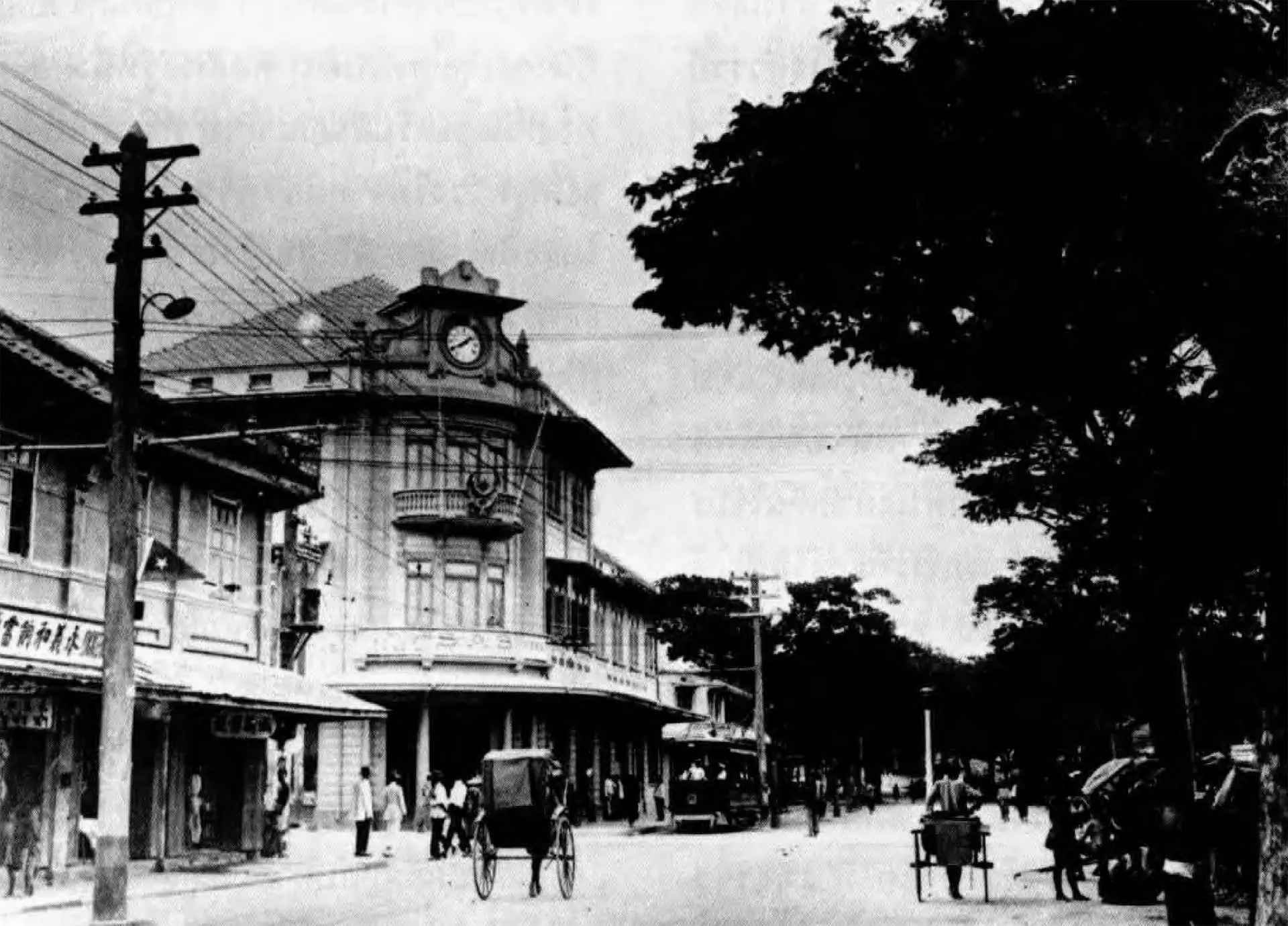
Charoen Krung runs for several kilometres along the eastern bank of the Chao Phraya, and for most of its length it is an unremarkable working street: shophouses, hardware suppliers, motorcycle repairs, a temple, a church, a mosque. It does not announce itself. But almost every explanation of why central Bangkok is shaped the way it is starts here.
The claim you will read everywhere, and the one we can support
Nearly every guide to this street repeats a claim we could not confirm from any source — that it was Bangkok's first paved road. It is a good line, and the record does not carry it. What the record does support is narrower: Charoen Krung was built in the early 1860s under King Mongkut, Rama IV, as a surveyed public road built for wheeled traffic. The asphalt surface most people mean by "paved" came decades afterwards, and we make no claim about where this road ranks against any other in the country.
We state the narrower version because it is the one the record supports, and because the distinction is the whole point. What was new in the 1860s was not the surface. It was the idea of a road: a long, surveyed public way built for wheeled traffic, in a city that had until then organised itself almost entirely around water.
Why a road was a radical object here
Bangkok was a canal city. Goods moved by boat, houses faced water, and the natural axis of settlement was the river and the khlongs that fed it. A road cutting overland, parallel to the river rather than perpendicular to it, proposed a different logic: that you could travel the length of the city without a boat.
Everything downstream of that idea follows. The street pattern of Bang Rak — long, thin plots running back from the road, shophouses turned to face it, sois dropping down to the water at intervals — is the pattern of a district that reorganised itself around a road after being organised around a river. You can still read both systems in the same few blocks.
- The road
- Runs roughly parallel to the river, set back from the bank for most of its length through the district.
- The sois
- Numbered side streets drop from the road towards the water. The numbering tells you which side of the road you are on.
- The riverbank
- Piers, warehouses and the buildings that needed water access sit behind the road, not on it.
- The inland edge
- Silom and Sathorn developed later and to a more commercial logic. The change is visible in the building line.
What the road attracted
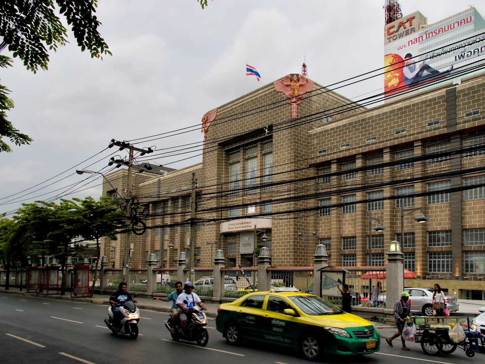
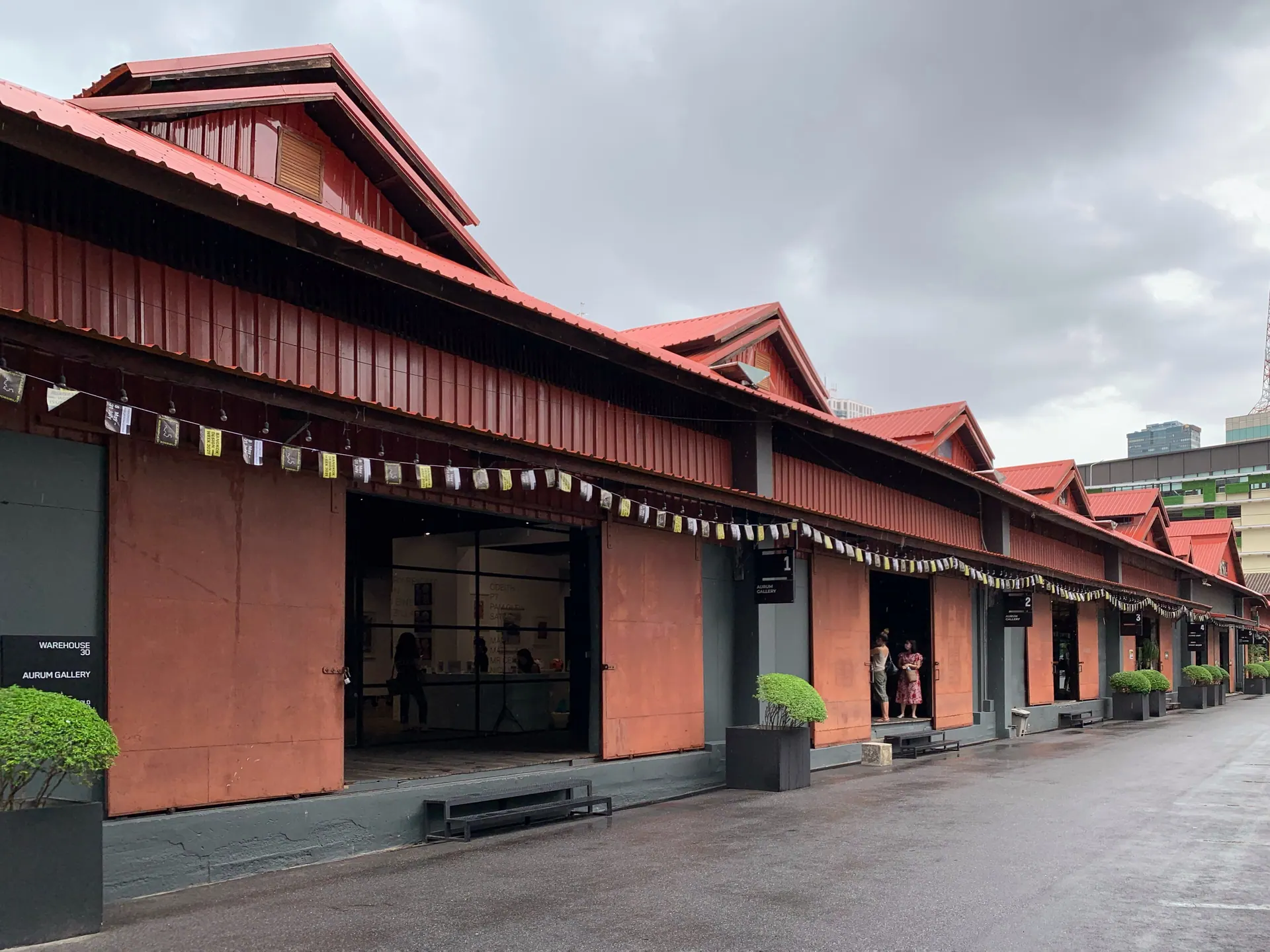
A new road in a trading city pulls institutions towards it. Along and just off Charoen Krung you find, within a short walk: the Grand Postal Building, a monumental government building that now houses Thailand’s design centre; Assumption Cathedral, the principal Catholic church in the country; a mosque; Chinese shophouses; and the warehouses that served the river trade.
That density of unlike things in a few blocks is unusual, and it is not decorative. It is what happens when a port district gets a road: the consulates, the trading houses, the religious buildings of several communities and the machinery of a modern state all want to be on it.
The Grand Postal Building
The most emphatic building on the street is the former General Post Office, a heavy symmetrical block that reads as government architecture from a distance. Thailand’s design centre now occupies it — a change of use that tells you a good deal about what has happened to this street in the last decade, and which the national tourism authority now treats as the anchor of the creative district.
What this article is not claiming
Neighbourhood history is not hotel history. Bangkok Gem Hotel stands in Bang Rak, near this road, and that is the entire relationship. The hotel is not descended from anyone who built here, and nothing in the district’s past belongs to it. We write about Charoen Krung because visitors walk it, not because we own any part of it.
Sources and fact review
Every claim below is traceable to a named source. Items marked volatile — opening hours, fares, routes and exhibition schedules — change without notice and are rechecked before publication rather than presented as permanent.
Charoen Krung is presented by the national tourism authority as the 150-year-old riverside road now known as a creative district, with the Grand Postal Building and converted warehouses along it.
The city authority publishes Charoen Krung–Talat Noi as a designated creative and heritage walking route.
The district authority describes the riverside quarter the road runs through, including Assumption Cathedral.