
Practical
Is Bang Rak Walkable? An Honest Answer
The district is genuinely walkable in one direction. The honest answer includes the parts that are not, and the conditions nobody mentions.
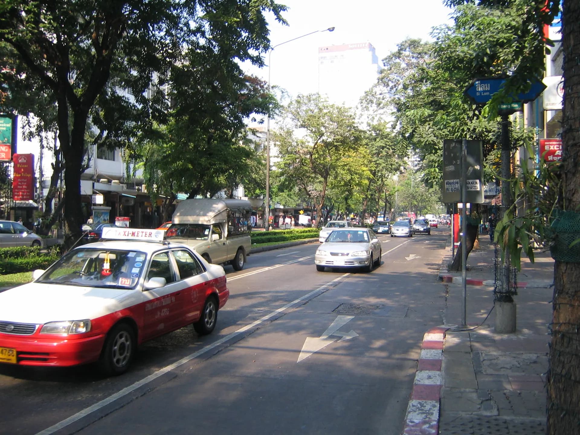
People ask this because Bangkok has a reputation for being unwalkable, and because the answer changes the shape of a trip. For Bang Rak specifically the answer is directional, and the direction is the useful part.
The short answer
Along its length — north to south, following Charoen Krung and the river — Bang Rak walks well. The city publishes a designated route through this corridor, and the creative district’s galleries and converted spaces sit within roughly a kilometre of one another. That is a walk.
Across its width — from the river inland to Silom and Sathorn — it walks less well. The district gets steadily more commercial, the blocks get longer, the traffic gets heavier, and the crossings get further apart.
- Along (good)
- Charoen Krung and the parallel riverside streets. Continuous, interesting, and roughly a kilometre covers the creative stretch.
- Across (harder)
- River to Silom. Longer blocks, more traffic, fewer crossings, less shade.
- The rail spine
- The BTS Silom Line runs through the district; Saphan Taksin sits at the river end, between Surasak and Krung Thon Buri.
- The water edge
- Piers are reached down the numbered sois rather than along a continuous riverside promenade.
The conditions nobody mentions
Walkability here is less about distance than about three other things.
- Shade. Much of Charoen Krung is narrow enough to be shaded for part of the day and completely exposed for the rest. The same walk is pleasant at eight in the morning and punishing at two in the afternoon.
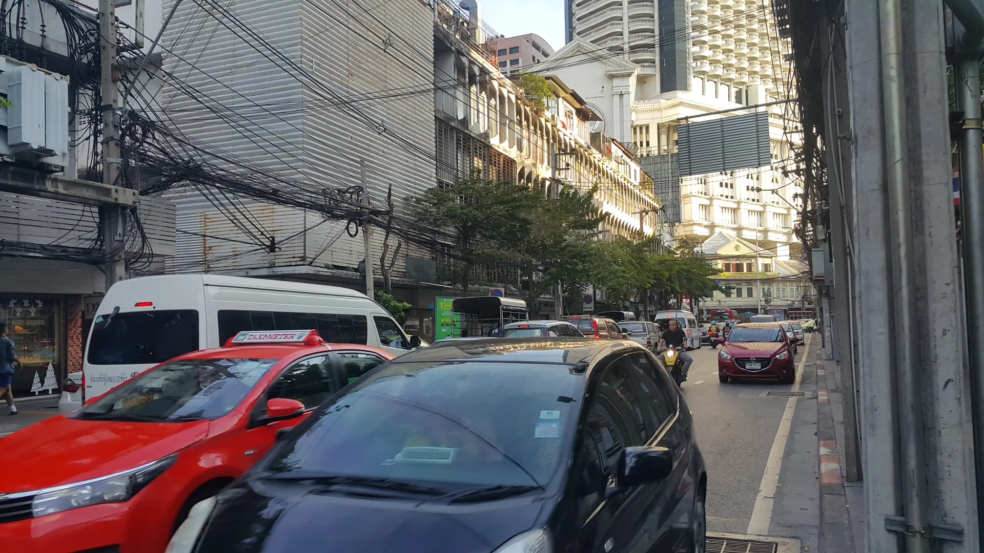
- Pavement condition. Surfaces are uneven, frequently interrupted by parked motorcycles and street furniture, and often wet. Footwear matters more than it should.
- Crossings. Crossing Charoen Krung is straightforward; crossing the larger inland roads is a different exercise and worth planning around rather than improvising.
There is no continuous riverside walk
This surprises people. The river is right there, but Bang Rak has no continuous public promenade along it. Access to the water is down the numbered side streets, which end at piers, warehouses or private frontage. If you picture a river walk, adjust the picture: you reach the river at points, not along a line.
What this means if you are choosing where to stay
If you want to walk your trip rather than ride it, the thing to check is whether what you care about lies along the district’s length or across its width. A stay near the river end puts the heritage, creative and pier ends of the district on one walkable axis. A stay further inland puts you closer to the rail and commercial side and makes the riverside end a short ride rather than a stroll.
We publish no distances or walking times from the hotel. Those depend on route and conditions, and none has been verified — an invented number here would be exactly the kind of small, plausible falsehood that is hardest to catch.
Sources and fact review
Every claim below is traceable to a named source. Items marked volatile — opening hours, fares, routes and exhibition schedules — change without notice and are rechecked before publication rather than presented as permanent.
The BTS Silom Line runs through the district with Saphan Taksin at its river end, between Surasak and Krung Thon Buri.
The city authority publishes a designated walking route through the Charoen Krung corridor, which is the district’s principal walking axis.
The tourism authority describes the creative district’s galleries and converted warehouses as clustered within roughly a kilometre of the design centre.