
Where to Stay
Bang Rak vs Silom: Where to Stay
The comparison everyone makes is mis-framed: Silom is inside Bang Rak, twice over. Here is how the district is actually organised, how its two ends differ, and how to choose without calling either one better.
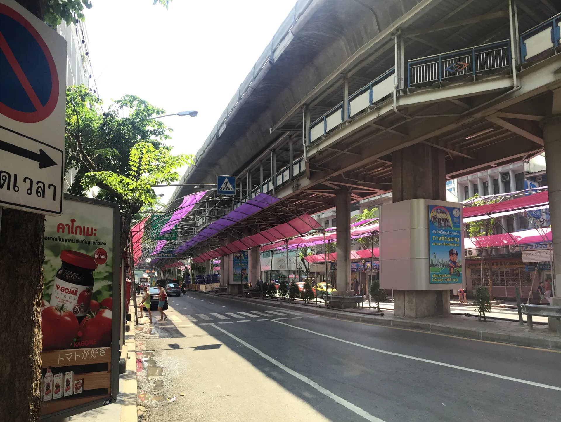
Silom is inside Bang Rak, and in two ways. Silom Road runs through the district, and Si Lom is also the name of one of the district’s five official subdistricts — the largest of them. So comparing Bang Rak with Silom compares a place with part of itself. The useful comparison is between the two ends of one district: the Silom side, built around offices and rail, and the riverside side, older and nearer the water. This guide sets out how the district is organised, then compares the two ends without choosing a winner.
How the district is organised
Bangkok is divided into districts (khet), and each district into subdistricts (khwaeng). According to the Bang Rak District Office of the Bangkok Metropolitan Administration, Bang Rak is a district of 5.536 square kilometres with five subdistricts: Si Lom, Suriyawong, Si Phraya, Bang Rak and Maha Phruettharam.
Areas as published by the Bang Rak District Office (Bangkok Metropolitan Administration; its page is dated November 2018). Percentages are our arithmetic, rounded. The bars compare size only. This is not a map: it says nothing about where each subdistrict lies.
Two things follow. “Bang Rak” names both the whole district and its smallest subdistrict, which is one reason the label is so slippery. And “Silom” names both a road and the district’s largest subdistrict, so the word can point to a street or to a large share of the district.
The district’s edges are unusually clear. Its western boundary is the centre line of the Chao Phraya, with Khlong San across the water. To the north and east, Rama IV Road separates it from Pathum Wan. Khlong Sathon, a canal, is the line to the south, beyond which lies the Sathon district, and Khlong Phadung Krung Kasem marks the north-eastern edge towards Samphanthawong. The river is therefore a boundary of the district itself, not only scenery beside it. The district’s emblem shows five windmills — one for each subdistrict, and, the district office says, a reminder of the mills that once stood on Silom Road.
Why the names get tangled
In everyday use the words follow roads, not boundaries. People say Silom for Silom Road and keep “Bang Rak” for the riverside end, although both belong to the same district. Travel publishers often present Silom and Bang Rak as one combined neighbourhood, which is a reasonable editorial choice and also the reason readers end up comparing a place with itself.
The same confusion shows up at building level. King Power Mahanakhon—the pixelated tower most people place in “Silom”—carries a registered address in Bang Rak, not Silom, a concrete example of exactly the district-versus-road confusion described above.
The practical consequence is at booking time: when a site filters for “Bang Rak”, it filters by the administrative district, so the results mix both ends. The area label is not telling you what you think it is telling you.
- Silom (the eastern end)
- Bangkok’s financial quarter. Offices, banks, large hotels, night markets. The densest transit access in the area — both BTS and MRT. Vertical, busy, and loud in parts after dark.
- Riverside Bang Rak (the western end)
- The older quarter along Charoen Krung toward the Chao Phraya. Shophouses, small workshops, galleries, places of worship, the Creative District. Lower-rise and oriented to the water.
- The gradient between them
- There is no line on the ground. Character changes gradually as you move west from Silom toward the river, which is why a single verdict for “Bang Rak” is unreliable.
- The one hard difference
- Rail. The Silom end has two networks; the river end has one station and the river. That is the most consequential distinction between them.
How the two ends compare
- Street character
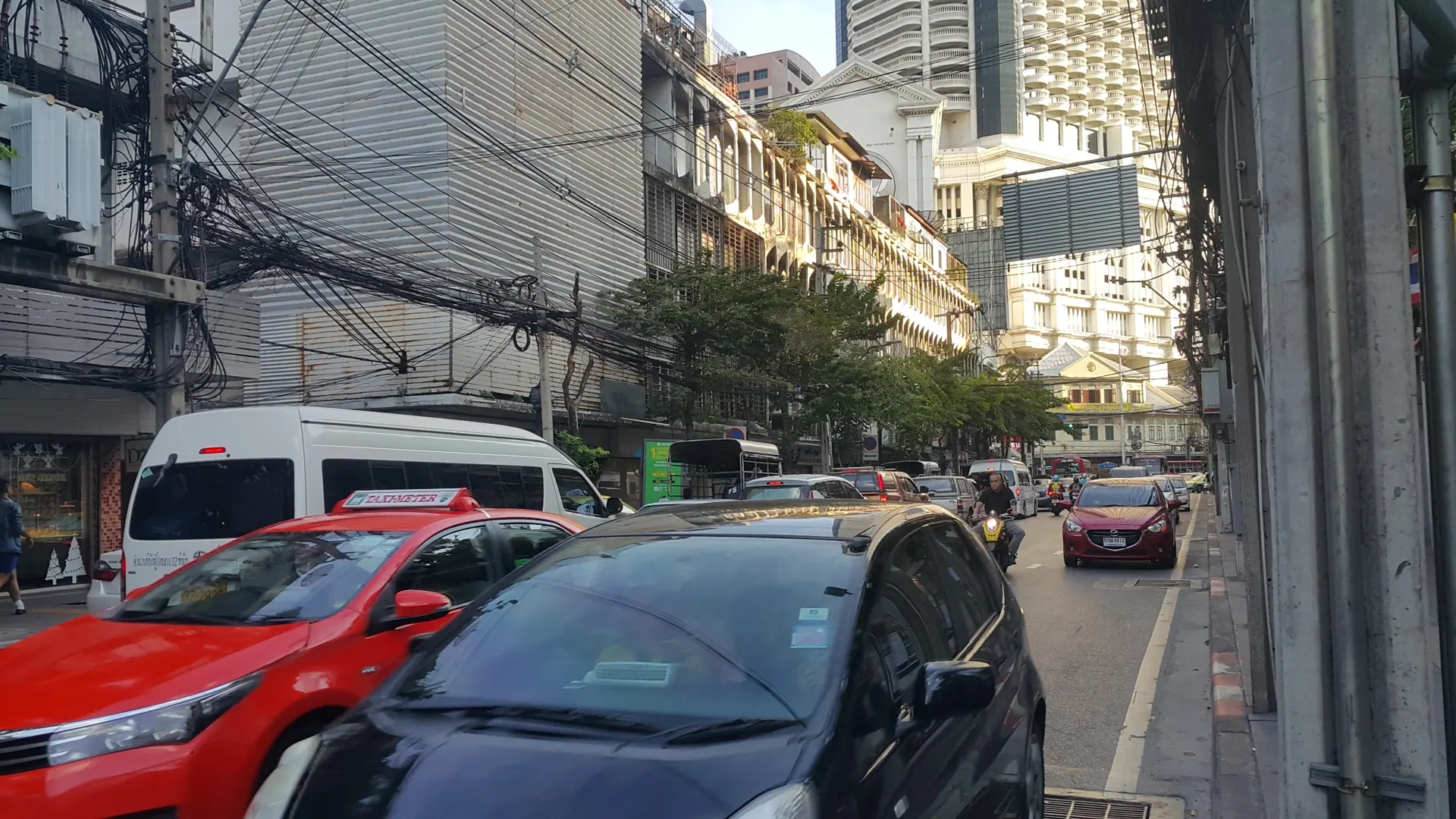
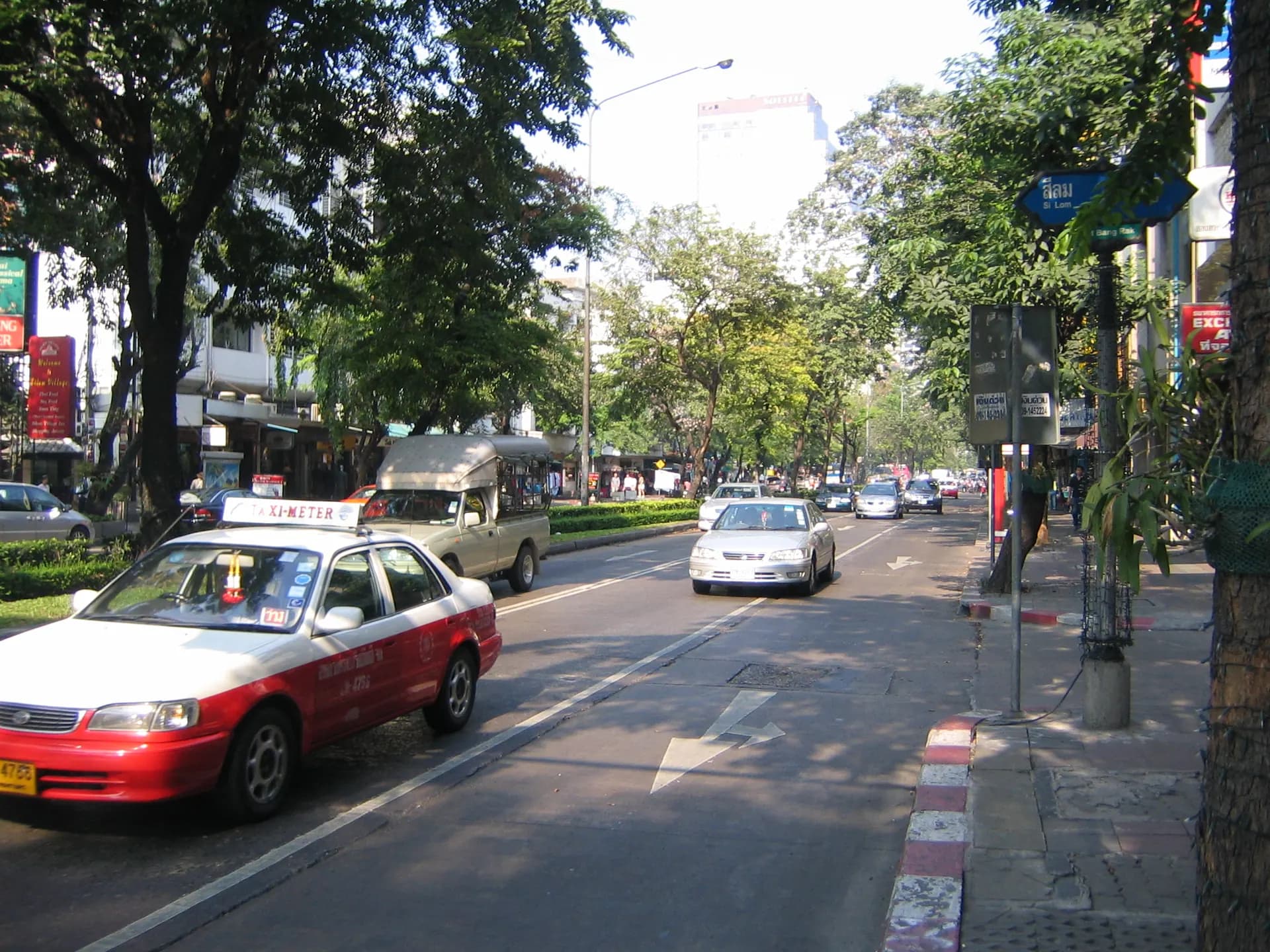
- The Silom end is a road with towers on it. The riverside end is organised along Charoen Krung Road and its numbered side streets (sois), which is why addresses there read like “Soi Charoen Krung 42/1”.
- Transport style
- Rail-first at the Silom end, which is served by both BTS and MRT. At the river end the Skytrain reaches Saphan Taksin, and from there you are walking or on a boat. On BTS’s own station list the Silom Line runs through Sala Daeng, Chong Nonsi, Saint Louis and Surasak to Saphan Taksin.
- River access
- The river is the district’s western boundary, but the access is not equal along it. The river end has Saphan Taksin and Sathorn Pier; the Silom end is inland and depends on rail.
- After dark
- Both ends have it, in different places. The district office’s own slogan lists zoned entertainment venues among the district’s themes, so it is part of the official picture. At the Silom end the entertainment blocks are a few streets rather than the whole area, so check the street. The river end is not arranged around visitors.
- Atmosphere
- The Silom end is arranged around the working day of an office district. The riverside end is lower-rise and older, with workshops, galleries and places of worship as neighbours.
- Who each end suits
- Silom suits working trips, daily Skytrain use and a wide choice of international hotels. The riverside end suits trips planned around walking, the river and the older streets. Neither is a better area; they suit different days.
Choosing between the two ends
- Choose the Silom end if you want maximum rail connectivity, a large choice of international hotels, and you are moving around the modern city daily.
- Choose the riverside end if you want the river as transport, the older street fabric, the design and gallery district, and a neighbourhood that is not arranged around visitors.
- Choose the Silom end if you are working in Bangkok. It is the business district and it behaves like one.
- Choose the riverside end if this is a repeat visit and you have already done the monuments.
- If you are a light sleeper, check the specific street either way — Silom’s entertainment blocks are a few streets, not the whole area.
The decision, in one line
If your days will be spent on the Skytrain, stay at the Silom end. If your days will be spent on foot and on the water, stay at the river end. You are not choosing between two districts — you are choosing which end of one district you want to wake up in.
For transparency: Bangkok Gem Hotel’s address, Soi Charoen Krung 42/1, is on the Charoen Krung side of the district, not on Silom Road.
Sources and fact review
Every claim below is traceable to a named source. Items marked volatile — opening hours, fares, routes and exhibition schedules — change without notice and are rechecked before publication rather than presented as permanent.
Bang Rak district has five subdistricts (khwaeng) — Si Lom, Suriyawong, Si Phraya, Bang Rak and Maha Phruettharam — and a total area of 5.536 km2, split Si Lom 2.074, Si Phraya 1.064, Maha Phruettharam 0.889, Suriyawong 0.820, Bang Rak 0.689 km2. Boundaries: Rama IV Road with Pathum Wan to the north and east; Khlong Sathon with Sathon to the south; Khlong Phadung Krung Kasem with Samphanthawong to the north-east; the centre line of the Chao Phraya with Khlong San to the west. The district emblem shows five windmills, which the office says stand for the mills that once stood on Silom Road and for the five subdistricts. The slogan names an economic district, zoned entertainment venues, a luxury-hotel quarter and well-known schools.
On the BTS area map the Silom Line lists, in order: National Stadium, Siam, Ratchadamri, Sala Daeng, Chong Nonsi, Saint Louis, Surasak, Saphan Taksin, Krung Thon Buri, Wongwian Yai, Pho Nimit, Talat Phlu, Wutthakat, Bang Wa. Saphan Taksin appears on the Silom Line only; Siam appears on both the Sukhumvit and Silom lists; the Gold Line lists Krung Thon Buri (Gold Line), Charoen Nakhon and Khlong San.
Charoen Krung is a 150-year-old road; the Thailand Creative & Design Centre relocated its headquarters to the Grand Postal Building on Charoen Krung Road; art spaces and galleries lie within about one kilometre of it, including Serindia Gallery (Soi Charoen Krung 36), Warehouse 30 (Soi 30), Most Gallery (Soi 28), Speedy Grandma and the Soy Sauce Factory (Soi 24) — which also shows that the road’s side streets are numbered.
Travel publishers routinely present Silom and Bang Rak as one combined neighbourhood — evidence of the labelling overlap, not a claim about the district itself.